

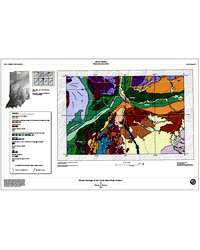
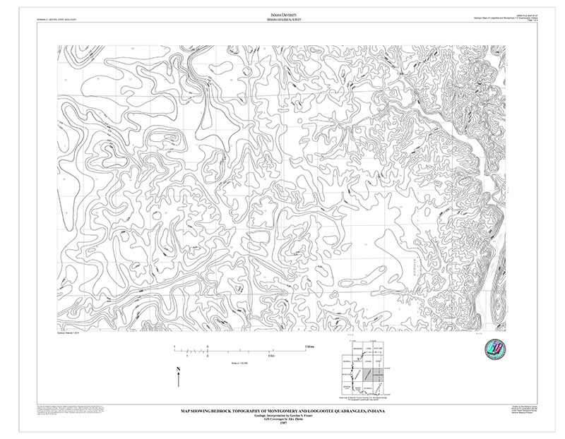
The "Glacial geology of the South Bend area, Indiana" is a map that depicts glacial landforms in the vicinity of the juncture of St. Joseph and Kankakee river valleys. The geographic extent of the mapped area includes the communities of Elkhart, Lakeville, North Liberty, South Bend, and Wakarusa and covers eight 7.5-minute quadrangles.
Brown, S. E., 2003, Glacial geology of the South Bend area, Indiana: Indiana Geological Survey Open-File Study 03-15, 6 p.
You may also like:
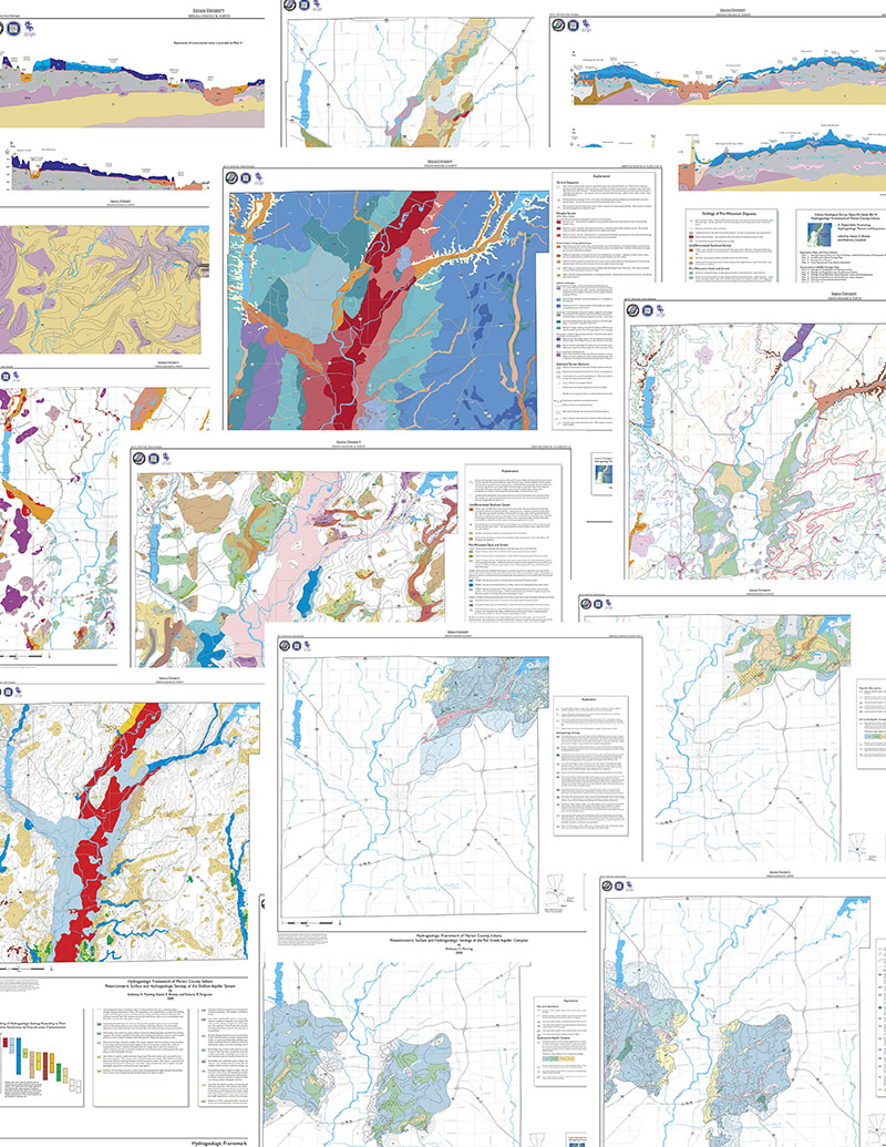
Keywords: statemap, glacial, geologic map, glacial geology, Great Lakes, moraine, South Bend
Can't find what you're looking for? Feel free to contact us directly:
Indiana Geological and Water Survey
1001 E. 10th St.
Bloomington, IN 47405
812-855-7636 (phone)
812-855-2862 (fax)
IGWSinfo@indiana.edu
IGS Return Policy
- Original sales receipt required.
- Returns accepted within 30 days of purchase date.
- Refund will be issued by the same method of payment as purchased.
- Products must be returned in the same new condition as purchased.
- Refunds on custom orders and digital products are NOT allowed.
- Customers are responsible for paying shipping costs to return products.
Updated 8/19/2020