

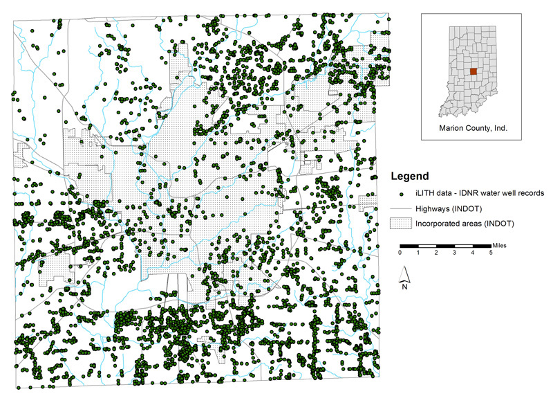
Figure 1.
Map of Marion County, Indiana, showing the distribution of iLITH water wells.
iLITH is an Indiana Geological and Water Survey (IGWS) database containing information from water-well records provided by the Indiana Department of Natural Resources (IDNR), Division of Water. These records contain both locational and lithologic data edited by the IGWS (Brown and others, 2000). The locational information was verified and the lithologic information was standardized into a series of tables, separating information such as color, hardness, texture, consistency, and simplified sediment type (the "interpreted" field).
The interactive map portion of this website displays the point data for the 4,719 water wells in Marion County that
are contained in iLITH (fig. 1). The location and
References
Brown, S. E., Bleuer, N. K., O'Neal, M. A., Olejnik, Jennifer, and Rupp, R. F., 2000, Glacial terrain explorer: Indiana Geological Survey Open-File Study 00-08, CD-ROM.