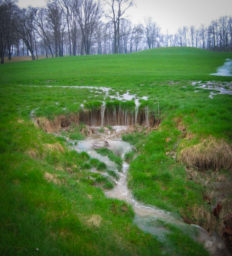
Simply put, a watershed is a drainage basin. Hydrologists refer to the area of land that contributes water flow to particular surface water outlet as its watershed, and this basin represents the area to be considered when issues regarding water quality and quantity are encountered along rivers and in lakes. All the surface water in Indiana flows either toward the Great Lakes in the north, the Mississippi River to the west, or the Ohio River to the south. Within each of these larger basins there are smaller tributary rivers and streams that are fed by their own catchments (subwatersheds). Therefore, the concept of scale in watershed studies is important and is based on the water-resource problem to be solved. Examples of surface-water issues can range in scale from a single landowner managing nutrient loading into a small pond to civil engineers addressing flooding along the White River.
Surface-water issues related to both water quality (for example, E. coli pollution) and water quantity (for example, flooding) are addressed via watershed management, which entails monitoring or altering environmental factors (natural or man-made) in order to maintain or improve a particular condition within the watershed. The hydrogeologic setting of a watershed must be considered in order to properly address water-resource problems because the type and distribution of geologic materials in a watershed greatly influence the response of surface-water features to precipitation extremes or contaminant loading. The Indiana Geological Survey conducts studies that provide watershed managers with information needed to address such issues as nonpoint source pollution, contaminants in sensitive karst settings, success of best management practices, and a number of other issues related to surface water.


