

The iLITH database contains water-well records from the Indiana Department of Natural
Resources, Division of Water. These records were edited by the Indiana Geological Survey
for locational accuracy and this
This website displays the water wells in Allen County that are contained in the iLITH database. Allen County is home to 5,269 records contained in iLITH (fig. 1). The location and lithology data for each well can be viewed by clicking on any water-well point in the interactive map viewer. Clicking on the blue highlighted index number will display the information in a report format that can be printed.
The iLITH database also has extended visualization capabilities when used with 3-D or cross section software tools. These tools allow the user to visualize the water well lithology data in two or three dimensions (fig. 2). Such tools are not available through the website.
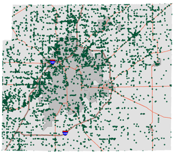 Figure 1.
Map of Allen County showing the distribution of iLITH water wells.
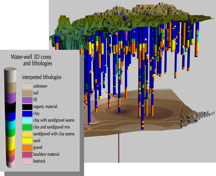 Figure 2.
Image depicting three dimensional distribution of lithologic cores; a digital elevation model is draped over the cores to show topography.
References:
Brown, S. E., Bleuer, N. K., O'Neal, M., Olejnik, J., and Rupp, R., 2000, Glacial Terrain Explorer: Indiana Geological Survey Open-File Study 00-08, CD-ROM.