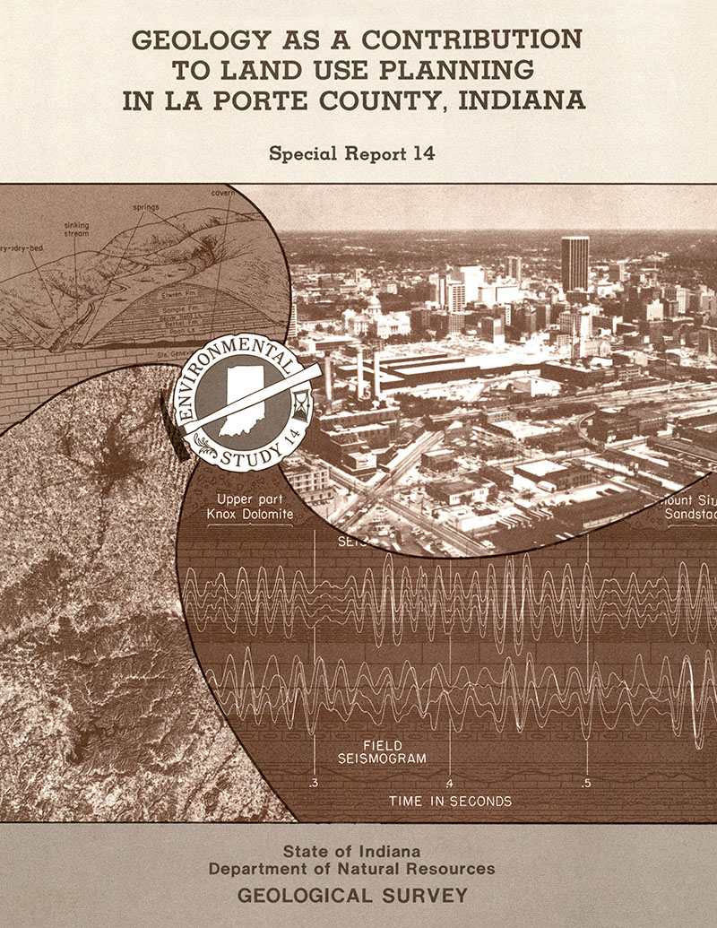
Marion County is the center of a large and rapidly growing urban-industrial complex in the heartland of Indiana. The boundaries of the county and of Indianapolis, the state capital, are the same as a result of the UNIGOV concept. The rapid growth of Indianapolis and its suburbs makes effective land-use planning important for Marion County. This report is designed to provide information, based on the geologic setting of the area, that can be used for effective and environmentally sound development of the county. Marion County, with 792,299 inhabitants (1970 census), is the most densely populated county in Indiana. As late as 1954, when the state in agricultural income. Since that time urban sprawl has consumed a large part of the prime farmland in the county. According to projections (Indiana Department of Commerce, Economic Research Division, 1969), growth pressures will continue as the county reaches an expected population in 1985 of more than 1 million.
Hartke, E.J., Ault, C. H., Austin, G. S., Becker, L. E., Bleuer, N. K., Herring, W. C., Moore, M. C., 1980, Geology for environmental planning in Marion County, Indiana: Indiana Geological Survey Special Report 19, 53 p., 1 pl., 19 figs. doi: 10.5967/48mk-kf88
You may also like:
Keywords: environmental geology
Can't find what you're looking for? Feel free to contact us directly:
Indiana Geological and Water Survey
1001 E. 10th St.
Bloomington, IN 47405
812-855-7636 (phone)
812-855-2862 (fax)
IGWSinfo@indiana.edu
IGS Return Policy
- Original sales receipt required.
- Returns accepted within 30 days of purchase date.
- Refund will be issued by the same method of payment as purchased.
- Products must be returned in the same new condition as purchased.
- Refunds on custom orders and digital products are NOT allowed.
- Customers are responsible for paying shipping costs to return products.
Updated 8/19/2020


