

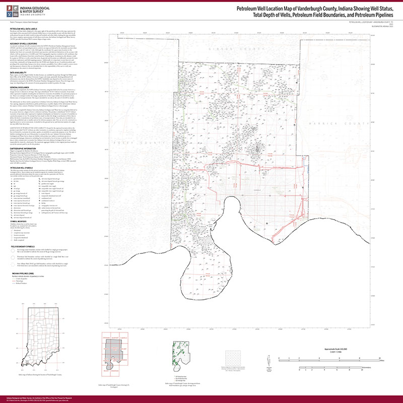
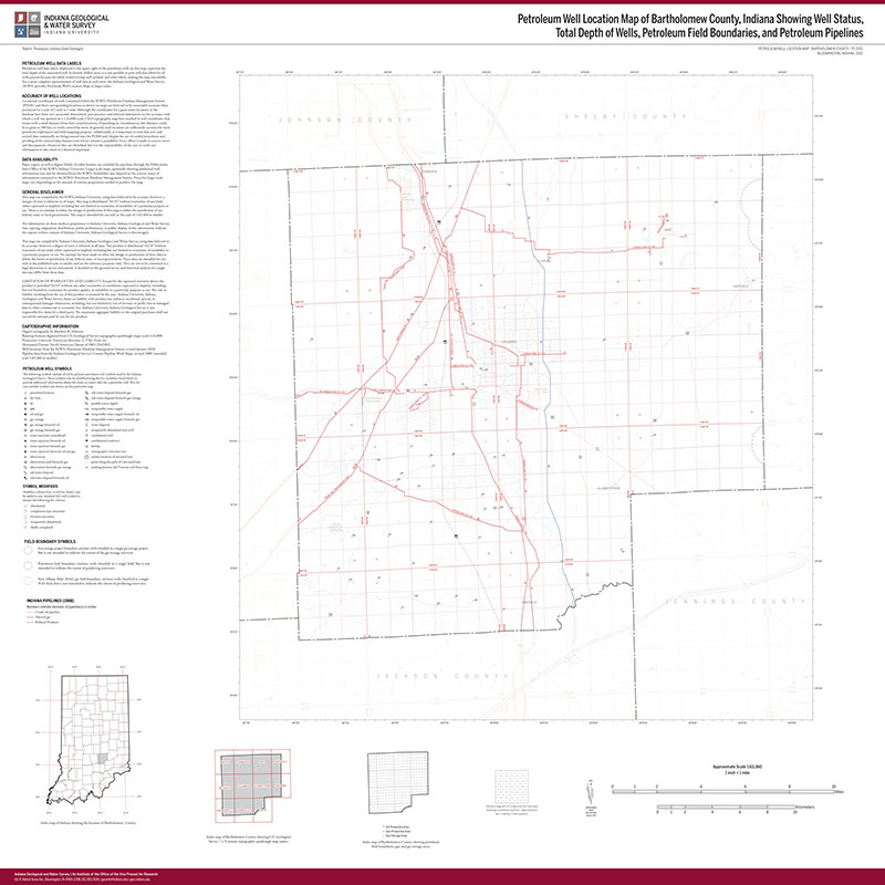
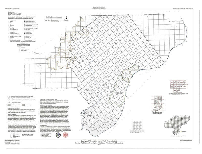
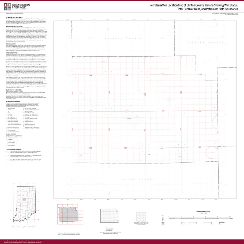
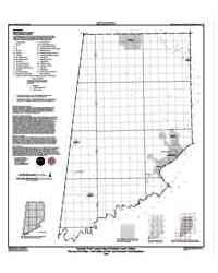
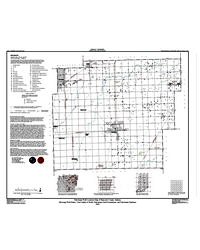
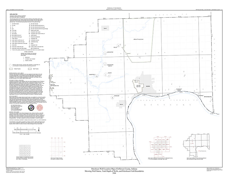
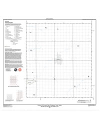
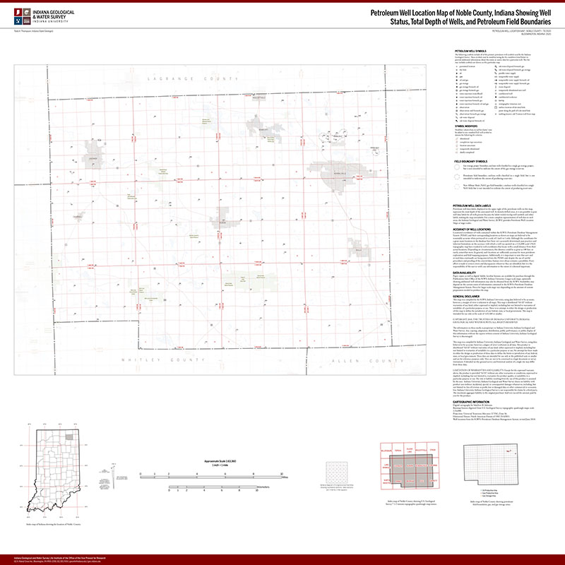
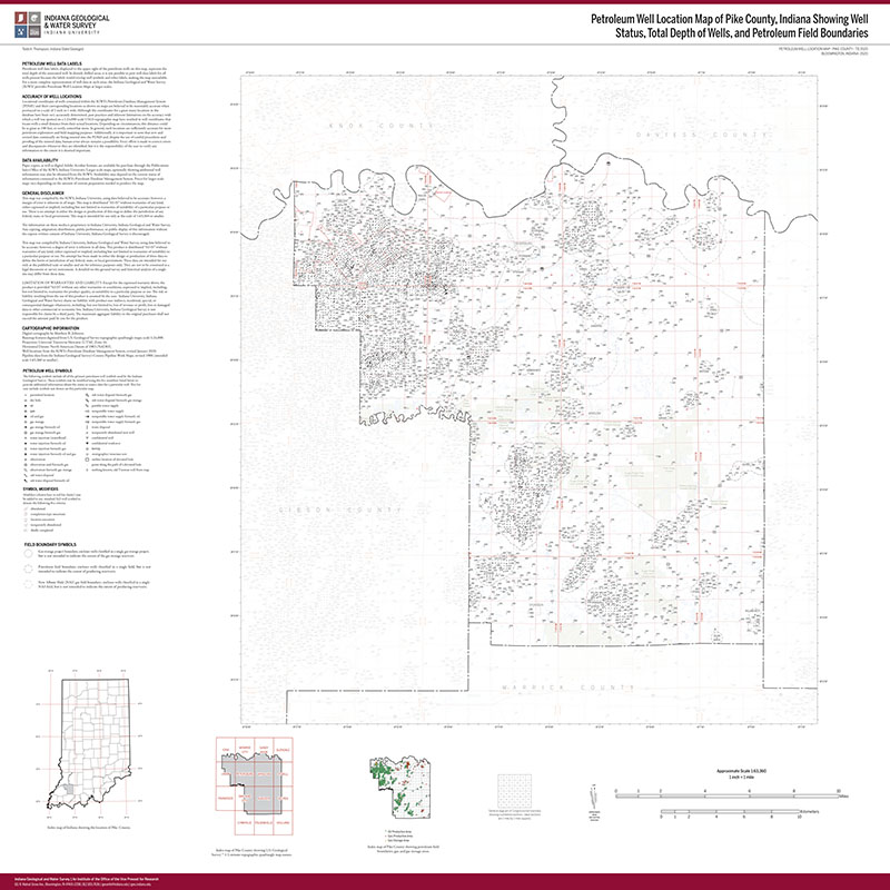
The standard maps in the Petroleum Well Location Map series are 1-inch equals 1-mile maps of individual counties with well symbols that indicate the completion type and status of the petroleum test wells, along with total depth of the wells. The outlines and names of oil, gas, and gas storage fields are also shown, as are petroleum product pipelines. The standard PWLM maps do not show additional data for the wells. Larger scale and custom maps are available by request or by using data found on the IGWS Petroleum Database Management System.
2020, Petroleum Well Location Map of Vanderburgh County, Indiana Showing Well Status, Total Depth of Wells, Petroleum Field Boundaries, and Petroleum Pipelines: Indiana Geological Survey Petroleum Well Location Map _Vanderburgh_PL
You may also like:
Keywords: petroleum, oil, gas, wells, energy resources
Can't find what you're looking for? Feel free to contact us directly:
Indiana Geological and Water Survey
1001 E. 10th St.
Bloomington, IN 47405
812-855-7636 (phone)
812-855-2862 (fax)
IGWSinfo@indiana.edu
IGS Return Policy
- Original sales receipt required.
- Returns accepted within 30 days of purchase date.
- Refund will be issued by the same method of payment as purchased.
- Products must be returned in the same new condition as purchased.
- Refunds on custom orders and digital products are NOT allowed.
- Customers are responsible for paying shipping costs to return products.
Updated 8/19/2020