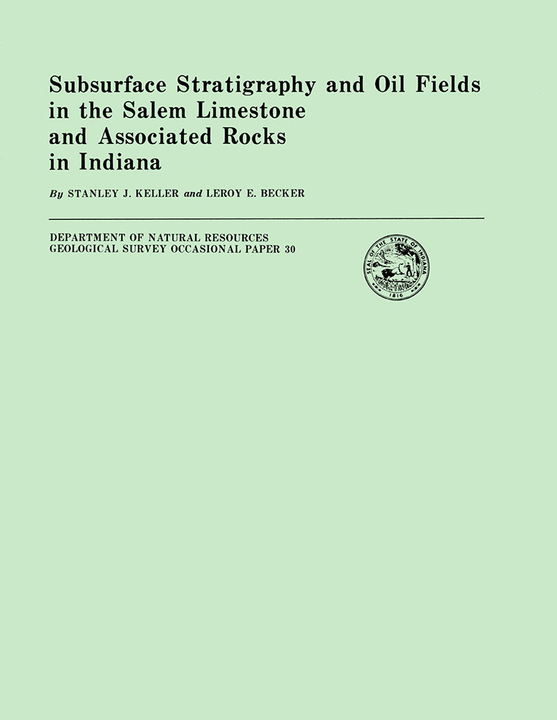
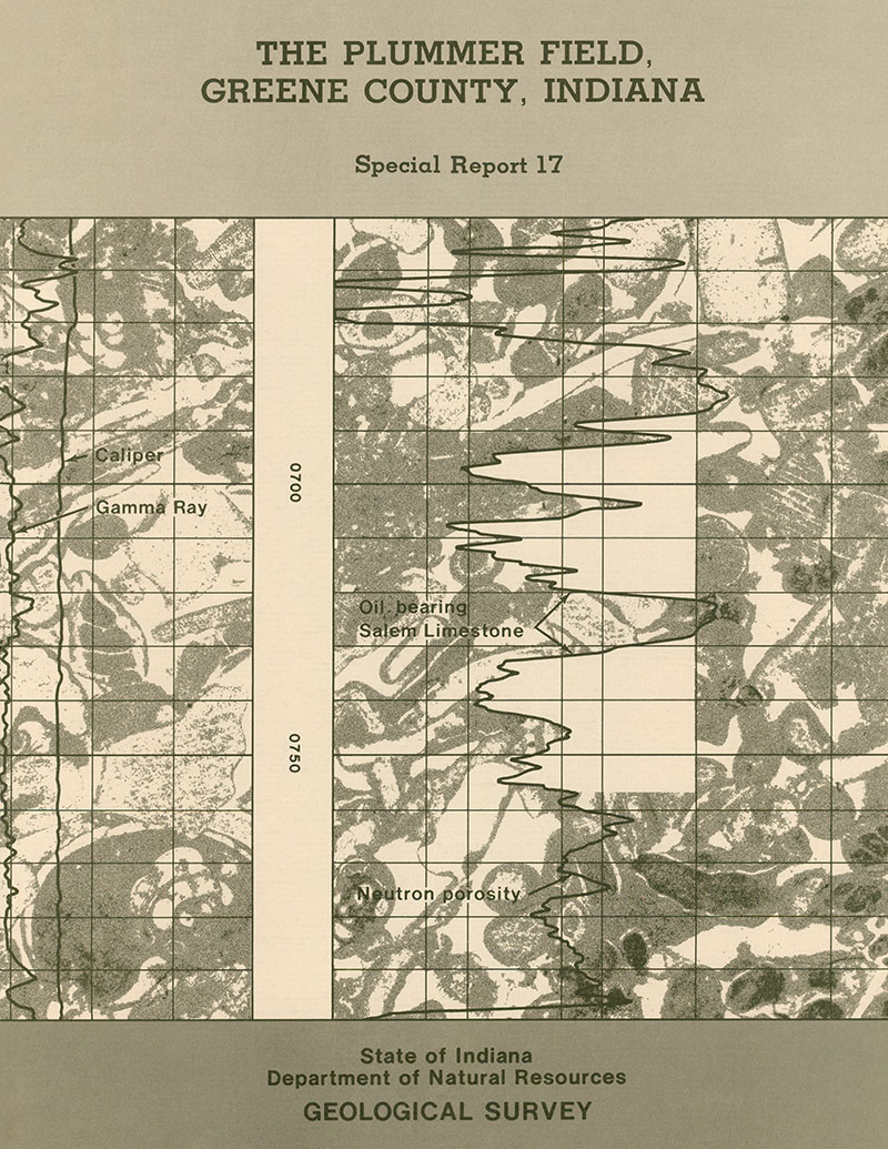
An area of 11 counties in southwestern Indiana was studied because (1) the subsurface geology of the Salem Limestone and associated rocks in the area contained numerous correlation discrepancies; (2) it was the locus of recent oil exploration and oil discoveries in these rocks; (3) the last subsurface study of this rock section was made in 1957; and (4) since that time, subsurface data from newly drilled petroleum-test wells have increased a hundredfold. Because of their abundance, geophysical logs were used extensively for correlation. Drill cuttings, where available, were also used in studying the rock units. The upper boundary of the Salem was based on geophysical-log correlations as supported by available drill cuttings. The lower boundary of the Salem was based on drill cuttings. Commercial oil is produced from porous calcarenite zones in the St. Louis and Salem Limestone and from coarsely crystalline limestone in the Harrodsburg Limestone. The lower part of the St. Louis Limestone yields oil from a porous carbonate rock that resembles Salem calcarenite and that we have formally named the Sisson Member in the St. Louis. A correlatable datum within the St. Louis that can be readily recognized on geophysical logs has been designated as the X marker. The Salem calcarenite facies ranges in thickness from a low of 10 percent of the total Salem in the southern part of the study area to a high of 80 percent in the northern part. Oil is produced from porous zones in the calcarenite. These porous zones become progressively thinner southward toward the Ohio River. In the upper part of the Harrodsburg Limestone, some oil is produced from a light-colored coarsely crystalline limestone that is fossiliferous in places. Oil production from the St. Louis, Salem, and Harrodsburg Limestones in Indiana amounted to 8,880,078 barrels as of December 31, 1978. Production in 1977 was 1,534,320 barrels and production in 1978 was 1,157,450 barrels. About 80 percent of the 1977 and 1978 production came from the Union-Bowman Consolidated and Sisson Fields in Gibson, Knox, and Pike Counties and the Owensville North Consolidated and Mt. Carmel Consolidated Fields in Gibson County.
Keller, S. J., and Becker, L. E., 1980, Subsurface stratigraphy and oil fields in the Salem Limestone and associated rocks in Indiana: Indiana Geological Survey Occasional Paper 30, 63 p., 15 figs., 3 tables, 1 app.
You may also like:
Keywords: St. Louis Limestone, Harrodsburg Limestone, Sisson Member, Blue River Group, Salem Limestone, oil, gas, stratigraphy, subsurface, energy resources, Sanders Group
Can't find what you're looking for? Feel free to contact us directly:
Indiana Geological and Water Survey
1001 E. 10th St.
Bloomington, IN 47405
812-855-7636 (phone)
812-855-2862 (fax)
IGWSinfo@indiana.edu
IGS Return Policy
- Original sales receipt required.
- Returns accepted within 30 days of purchase date.
- Refund will be issued by the same method of payment as purchased.
- Products must be returned in the same new condition as purchased.
- Refunds on custom orders and digital products are NOT allowed.
- Customers are responsible for paying shipping costs to return products.
Updated 8/19/2020


