


| Not available for purchase | |
| Format(s) | Not Available |
|---|---|
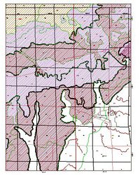
Bleuer, N. K., Woodfield, M. C. 1983, Plates 4-33. Additional quadrangle maps showing subsurface data points or aquifer sensitivity terrain for the Chesterton, Dune Acres, Hebron, Kouts, LaCrosse, Michigan City West, Ogden Dunes, Palmer, Valparaiso, Wanatah, and Westville quadrangles: Indiana Geological Survey Open-File Study 93-02.4
Notes: Publications in the Indiana Geological Survey Open-File series have been inconsistently named using a variety of series titles including "Open-File Report," "Open-File Map," and "Open-File Study." Prior to 1994, a publication in this series was generally referred to as an "Open-File Report" (but not always). To help reduce confusion created by these inconsistencies, the IGS now refers to every publication in the Open-File series as an "Open-File Study." To be entirely correct in writing a bibliographic reference for a publication, one should use the series name and number that appears on the publication itself.
Scale, 1:24,000. Price is for each quadrangle.
You may also like:


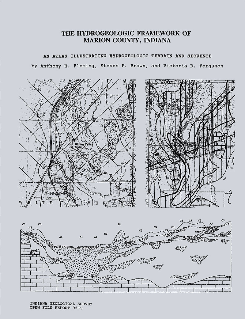
Keywords: map, geology, aquifer, terrain, hydrogeology, environmental geology
This item is no longer available. Please contact the Indiana Geological and Water Survey Publication Sales Office for more information. Many IGWS publications are available through local libraries.
Publication Sales Office
Indiana Geological Survey
1001 E. 10th St.
Bloomington, IN 47405
(812) 855-7636 office phone
(812) 855-2862 office fax
IGSINFO@indiana.edu