


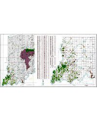
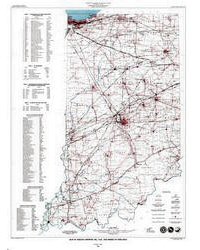
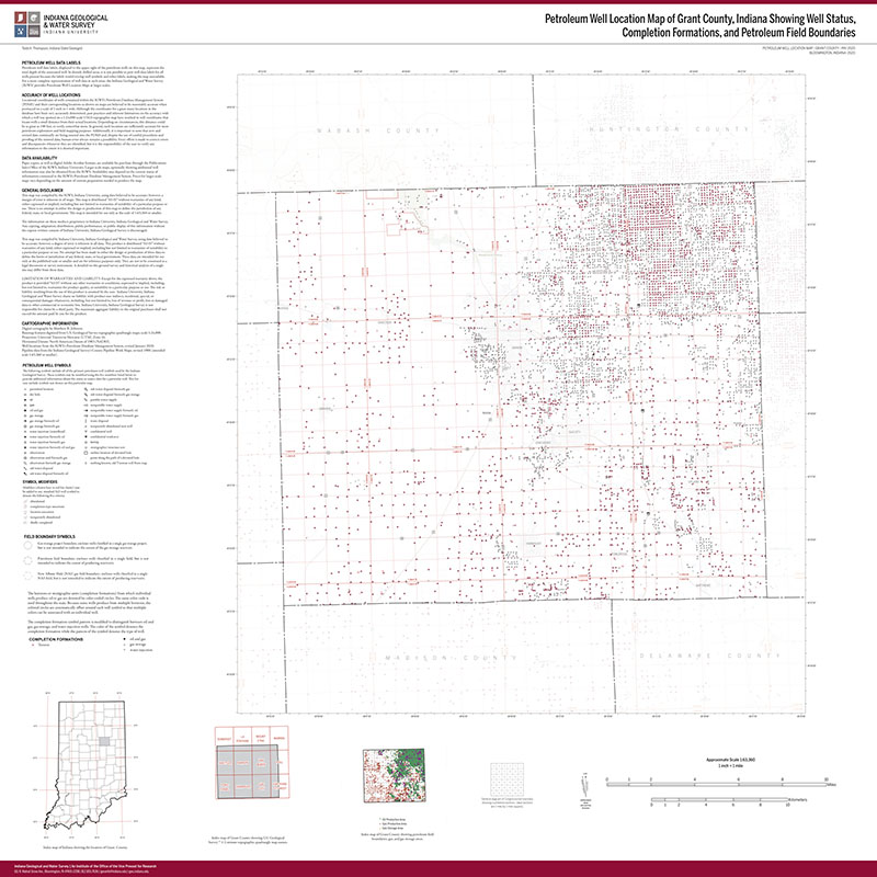
This map portrays the distribution of all of the oil, and gas fields as well as the natural gas storage fields located within Indiana. The map (Pipelines, Oil and Gas Fields, and Gas Storage Fields in Indiana, IGS MM 70) is actually two maps: a full map of the state at a scale of 1:500,000 and a detail of the southwestern part of the state at a scale of 1:250,000.
Stubenrauch, R., 2006, Map showing pipelines, oil, and gas fields, and gas storage fields in Indiana: Indiana Geological Survey Miscellaneous Map 70, scale 1:500,000.
You may also like:


Keywords: wall map, oil, gas, energy resources, map, pipelines, petroleum fields, gas storage fields
Can't find what you're looking for? Feel free to contact us directly:
Indiana Geological and Water Survey
1001 E. 10th St.
Bloomington, IN 47405
812-855-7636 (phone)
812-855-2862 (fax)
IGWSinfo@indiana.edu
IGS Return Policy
- Original sales receipt required.
- Returns accepted within 30 days of purchase date.
- Refund will be issued by the same method of payment as purchased.
- Products must be returned in the same new condition as purchased.
- Refunds on custom orders and digital products are NOT allowed.
- Customers are responsible for paying shipping costs to return products.
Updated 8/19/2020