

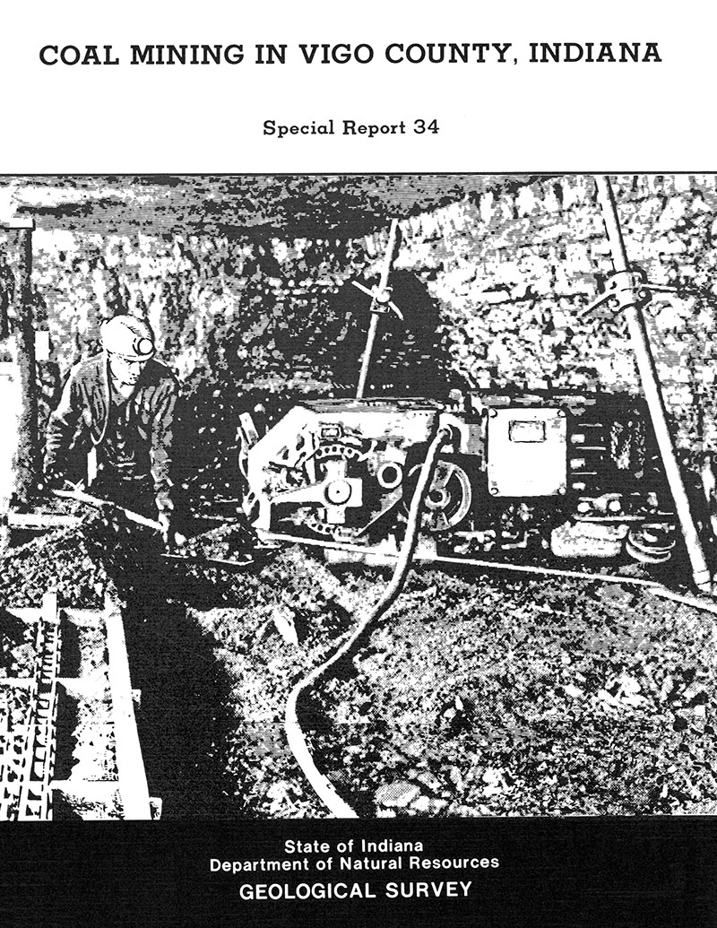
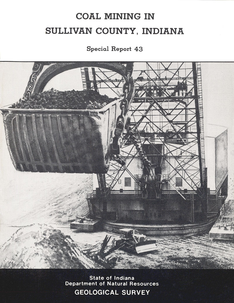
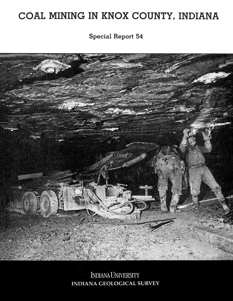
This directory is a compilation of information related to actively permitted coal mines and producers in Indiana. It includes index maps of the Illinois Basin and southwestern Indiana, as well as county overview maps and coal production tables for each county having mines with active permits. In addition, a detailed map of each mine shows mined-out areas, as well as locations of active pits, mine offices (when available), and local roads. Detailed maps of each mine are accompanied by tabular information including mine location, mine type, mine operation dates, mining status, coals mined, ownership information, contact personnel, addresses, phone numbers, production data, and, in many cases, mine history or other information about the mine. Mine data were collected from coal companies and the Indiana Department of Natural Resources, Division of Reclamation between March and December 2012. Because all data were collected in 2012, production data for 2011 were the most current available.
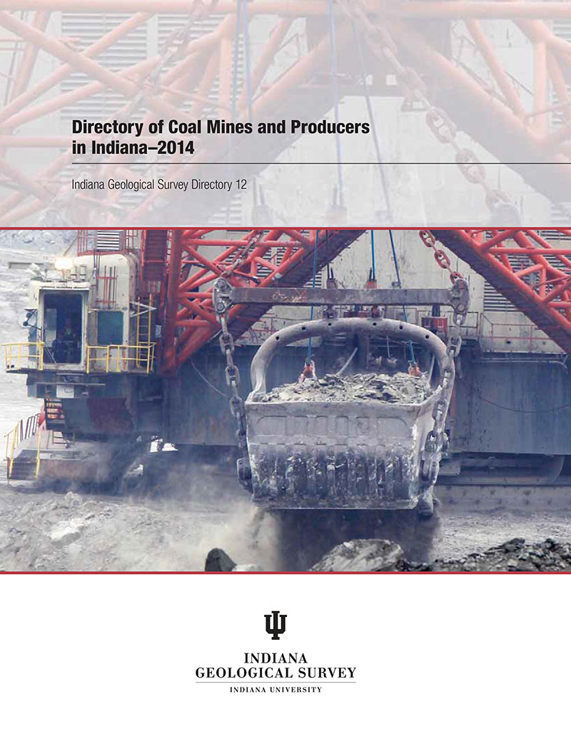
Shaffer, K. R., Meyer, R. A., and Montgrain, L. A., 2014, Directory of Coal Mines and Producers in Indiana--2014: Indiana Geological Survey Directory 12-14, 93 p.
You may also like:
Keywords: coal directory, coal mines, directory, coal, mine, energy resources, production, reserves
Can't find what you're looking for? Feel free to contact us directly:
Indiana Geological and Water Survey
1001 E. 10th St.
Bloomington, IN 47405
812-855-7636 (phone)
812-855-2862 (fax)
IGWSinfo@indiana.edu
IGS Return Policy
- Original sales receipt required.
- Returns accepted within 30 days of purchase date.
- Refund will be issued by the same method of payment as purchased.
- Products must be returned in the same new condition as purchased.
- Refunds on custom orders and digital products are NOT allowed.
- Customers are responsible for paying shipping costs to return products.
Updated 8/19/2020