

The IGWS bookstore has moved.
Item Number:
CM26
Map Scale:
1:63,360
| Not available for purchase | |
| Format(s) | Not Available |
|---|---|
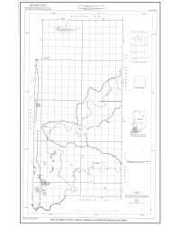
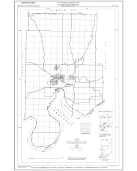
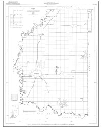
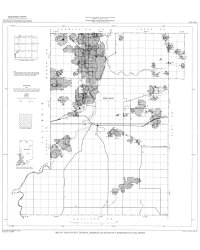
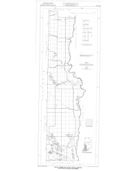
Weber, L. A. 1987, Map of Martin County, Indiana, showing locations of surface coal mines: Indiana Geological Survey Coal Map 26
You may also like:

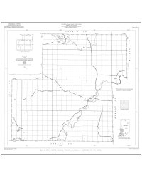
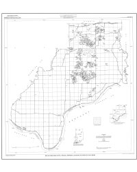
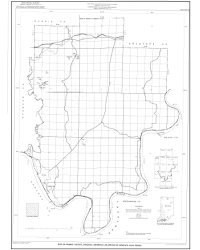
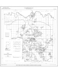

Keywords: coal, mine, map, energy resources
This item is no longer available. Please contact the Indiana Geological and Water Survey Publication Sales Office for more information. Many IGWS publications are available through local libraries.
Publication Sales Office
Indiana Geological Survey
1001 E. 10th St.
Bloomington, IN 47405
(812) 855-7636 office phone
(812) 855-2862 office fax
IGSINFO@indiana.edu