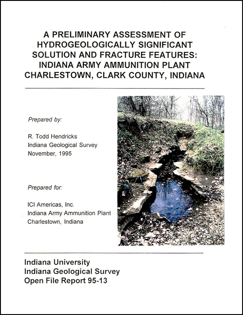
EXECUTIVE SUMMARY: The hydrogeology of the Indiana Army Ammunition Plant and surrounding areas is profoundly influenced by the nature of the lithostratigraphic units present, the orientation and characteristics of bedrock joints and fractures, natural karst processes, and post-1941 wastewater-enhanced dissolution. The Whitewater Formation and the Osgood Member of the Salamonie Dolomite are resistant to karst processes because of their argillaceous, dolomitic composition. Because of its low permeability and dolomitic composition, the Laurel Member of the Salamonie Dolomite is important as an aquitard. The Waldron Shale, because of its composition and mineralogy, forms a barrier to downward migration of water in many cases, but where high flow volumes or long-term flow are present, the shale is quickly weathered away dues to it's characteristically poor slake resistance, and springs emerge along the top of the Laurel Member. By virtue of their mineralogy, the Louisville Limestone and Jeffersonville Limestone are predisposed to natural dissolution and the formation of cave, bedding plane, and joint conduits, and therefore constitute the primary significant aquifer system underlying the study area. Four major sets of joints, three of which are recognized over a large geographic area, are present on the ammunition plant. The regional joint sets present in the area trent roughly due north to N10E, N75W to N90W, and N40W to N45W. A local joint set, probably related to basement faulting in the area, trends approximately N70E. Many of the joints are unusually dilated, showing much greater separation than normal. The introduction of acidic wastewater to the Jenny Lind Run drainage basin greatly enhanced natural karst processes in the highly soluble Louisville and Jeffersonville Limestones, and rapidly eroded the Waldron Shale. Preexisting conduits were enlarged, and new conduits were created. Downstream from the intensely karsted Louisville and Jeffersonville, the wastewater flowed over the more resistant Laurel, Osgood, and Saluda. The lack of karst features in these units along Jenny Lind Run indicates that, other than surficial dissolution, wastewater effects were comparatively minor.
Hendricks, R. T. 1995, A preliminary assessment of hydrogeologically significant solution and fracture features: Indiana Army Ammunition Plant, Charlestown, Clark County, Indiana: Indiana Geological Survey Open-File Study 95-13, 56 p., 32 fig., 4 pl.
Notes: Publications in the Indiana Geological Survey Open-File series have been inconsistently named using a variety of series titles including "Open-File Report," "Open-File Map," and "Open-File Study." Prior to 1994, a publication in this series was generally referred to as an "Open-File Report" (but not always). To help reduce confusion created by these inconsistencies, the IGS now refers to every publication in the Open-File series as an "Open-File Study." To be entirely correct in writing a bibliographic reference for a publication, one should use the series name and number that appears on the publication itself.
9 app.
You may also like:
Keywords: hydrogeology, karst, fracture, joint, Whitewater Formation, Osgood Member, Salamonie Dolomite, Laurel Member, Waldron Shale, Louisville Limestone, Jeffersonville Limestone, aquifer
Can't find what you're looking for? Feel free to contact us directly:
Indiana Geological and Water Survey
1001 E. 10th St.
Bloomington, IN 47405
812-855-7636 (phone)
812-855-2862 (fax)
IGWSinfo@indiana.edu
IGS Return Policy
- Original sales receipt required.
- Returns accepted within 30 days of purchase date.
- Refund will be issued by the same method of payment as purchased.
- Products must be returned in the same new condition as purchased.
- Refunds on custom orders and digital products are NOT allowed.
- Customers are responsible for paying shipping costs to return products.
Updated 8/19/2020


