

| Not available for purchase | |
| Format(s) | Not Available |
|---|---|
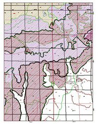
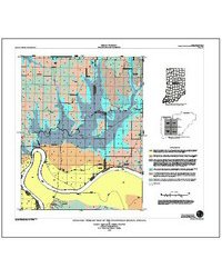
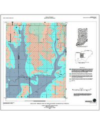
OVERVIEW: This report considers the relative sensitivity of Porter County aquifers through identification and mapping of the geologic framework, the three-dimensional geologic terrain, within which aquifers occur. Aquifers are beds of saturated, granular material such as sand and (or) gravel that are sufficiently permeable to transmit usable quantities of water to pumping wells. The various terrains consist of landforms and associated stacked sequences of deposits related to relatively recent lakeshore environments and to older glacial, glacial outwash, and glacial lake environments. The sequences are composed of unconsolidated materials ranging in total thickness from about 50 to over 200 feet, lying above bedrock. The purpose of this terrain mapping is twofold: first to form the areal (map) background for a system of relative sensitivity ranking, and second to illustrate the nature and degree of geologic variability within mapped terrain-sensitivity units. Geologic terrain is mapped and terrain map units are ranked with respect to the relative ease (or speed) with which aquifers contained within might receive contaminants from surface or near-surface sources. The ranking process is based upon a "point-method" calculation of sensitivities in which a score is given to individual well records. Sensitivities of mapped terrain units are characterized on the basis of means and variations of scores associated with the units. These scores are essentially a measure of aggregate thickness of aquifer-capping "clays," with varying weights given to these materials according to position and individual thickness. Aquifers may be thick (>100 ft) or think (<5 ft); they may be simple, discretely mappable units, or they may be ill-defined aspects of a larger package of units; they may be capped by thick "clays", or they may extend to the surface, capped only by a think surficial soul profile. Therefore, relative sensitivity may be affected by variables that are not simply summarized in terms of character and thickness of "capping clay." For these reasons, illustration of the variability of aquifer-enclosing sequences is of great importance. These are graphically illustrated here in great detail. The intent is to illustrate the many nonquantifiable variables involved in true sensitivity analysis, to illustrate the assumptions involved in this mapping process, and to illustrate the degree of variation of materials and sensitivities. In these examples, accompanying geologic models are intended to provide conceptual background for future geologic evaluations. Aquifers within the unconsolidated geologic sequences of Porter County are, in fact, "used" aquifers across the entire county (with very limited exception). For this reason, the sensitivity of deeper bedrock aquifers is not a consideration herein.
Bleuer, N. K., Woodfield, M. C. 1993, Geologic terrain, sequences, and aquifer sensitivity, Porter County, Indiana: Indiana Geological Survey Open-File Study 93-02, 61 p.
Notes: Publications in the Indiana Geological Survey Open-File series have been inconsistently named using a variety of series titles including "Open-File Report," "Open-File Map," and "Open-File Study." Prior to 1994, a publication in this series was generally referred to as an "Open-File Report" (but not always). To help reduce confusion created by these inconsistencies, the IGS now refers to every publication in the Open-File series as an "Open-File Study." To be entirely correct in writing a bibliographic reference for a publication, one should use the series name and number that appears on the publication itself.
You may also like:


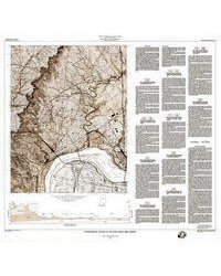
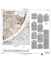

Keywords: geologic map, terrain, aquifer, environmental geology
This item is no longer available. Please contact the Indiana Geological and Water Survey Publication Sales Office for more information. Many IGWS publications are available through local libraries.
Publication Sales Office
Indiana Geological Survey
1001 E. 10th St.
Bloomington, IN 47405
(812) 855-7636 office phone
(812) 855-2862 office fax
IGSINFO@indiana.edu