

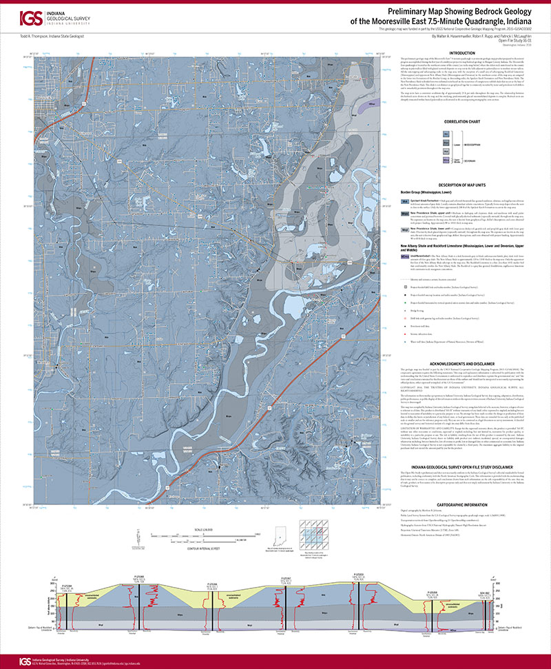
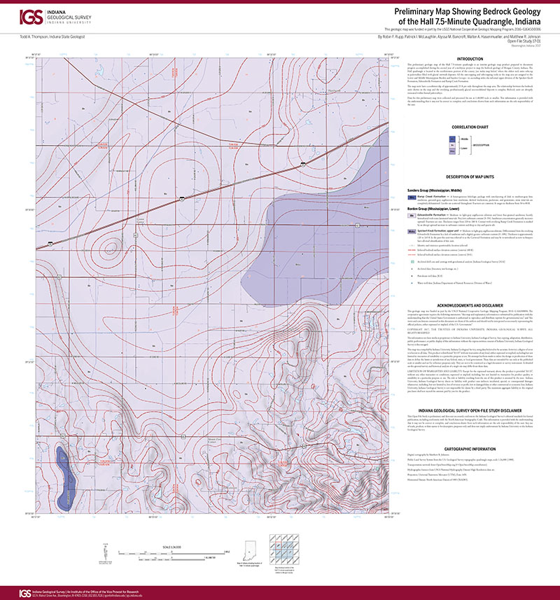
This preliminary geologic map of the Mooresville East 7.5-minute quadrangle is an interim geologic map product prepared to document progress accomplished during the first year of a multiyear project to map bedrock geology in Morgan County, Indiana. The Mooresville East quadrangle is located in the northeast corner of the county (see index map below) where the oldest rock units found in the county subcrop in paleovalleys filled with glacial outwash deposits or crop out in the hills adjacent to paleovalleys or in modern stream valleys. All the outcropping and subcropping rocks in the map area, with the exception of a small area of subcropping Rockford Limestone (Mississippian) and uppermost New Albany Shale (Mississippian and Devonian) in the northeast corner of the map area, are assigned to the lower two formations of the Borden Group, in descending order, the Spickert Knob Formation and New Providence Shale. The New Providence Shale is divided into two informal units based on the occurrence of conspicuous reddish shale that occurs at the base of the New Providence Shale. This shale is not distinct on geophysical logs but is commonly recorded by water and petroleum well drillers and is remarkably persistent throughout the map area. The map units have a consistent southwest dip of approximately 25 ft per mile throughout the map area. The relationship between the bedrock units shown on the map and the overlying, predominantly glacial unconsolidated deposits is complex. Bedrock units are abruptly truncated within buried paleovalleys as illustrated in the accompanying stratigraphic cross section.
Hasenmueller, W. A., Rupp, R. F., and McLaughlin, P. L., 2016, Preliminary map showing bedrock geology of the Mooresville East 7.5-minute quadrangle, Indiana: Indiana Geological Survey Open-File Study 16-01, scale 1:24,000.
You may also like:

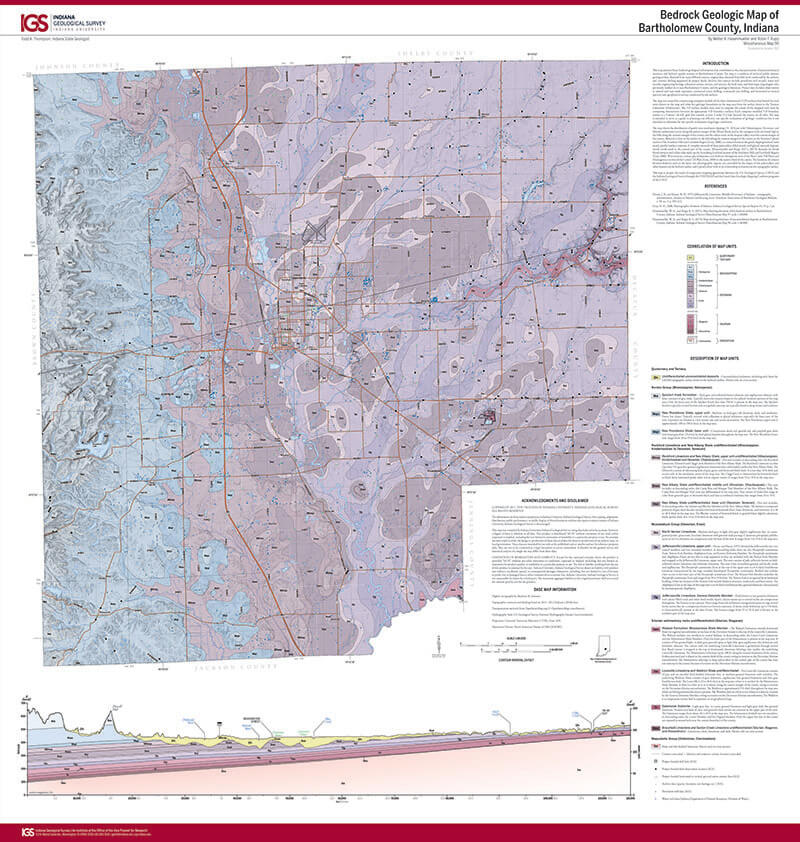
Keywords: map, Borden Group, Spickert Knob Formation, New Providence Shale, bedrock geology
Can't find what you're looking for? Feel free to contact us directly:
Indiana Geological and Water Survey
1001 E. 10th St.
Bloomington, IN 47405
812-855-7636 (phone)
812-855-2862 (fax)
IGWSinfo@indiana.edu
IGS Return Policy
- Original sales receipt required.
- Returns accepted within 30 days of purchase date.
- Refund will be issued by the same method of payment as purchased.
- Products must be returned in the same new condition as purchased.
- Refunds on custom orders and digital products are NOT allowed.
- Customers are responsible for paying shipping costs to return products.
Updated 8/19/2020