

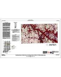
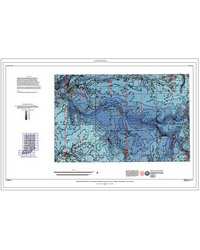
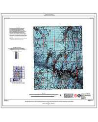
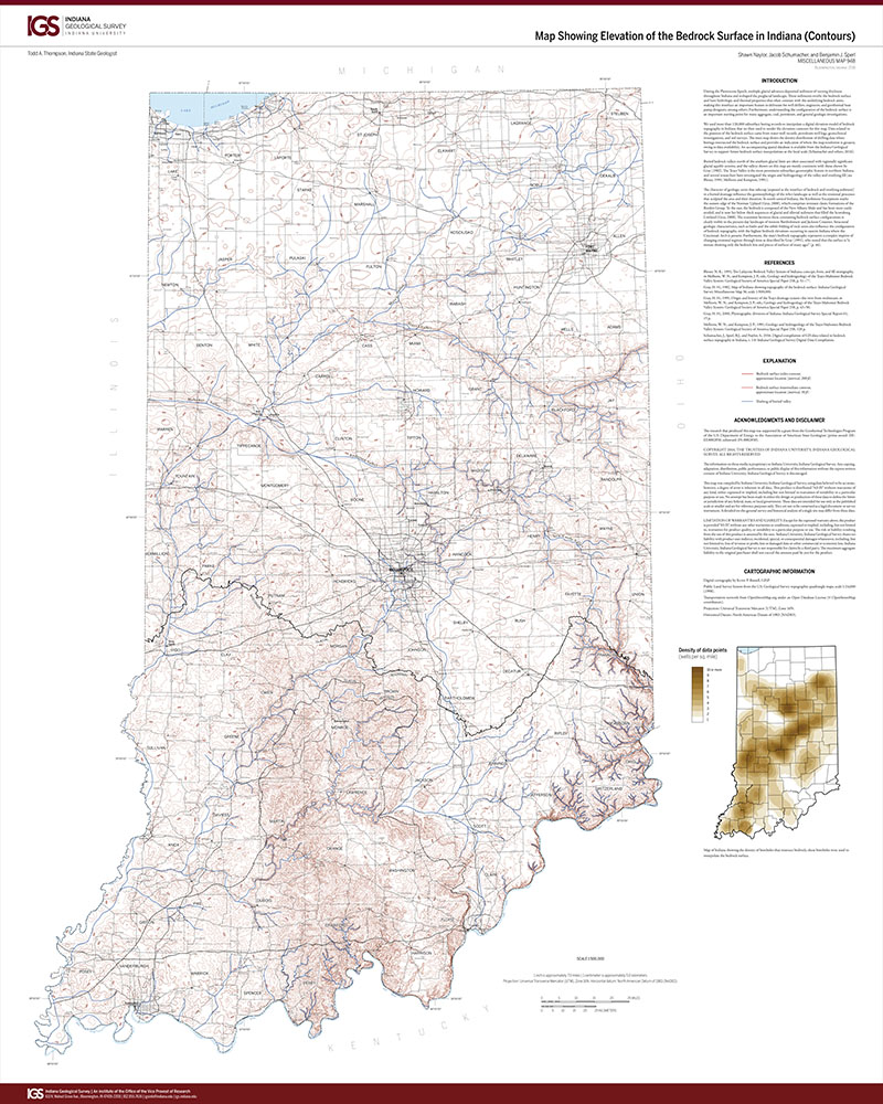
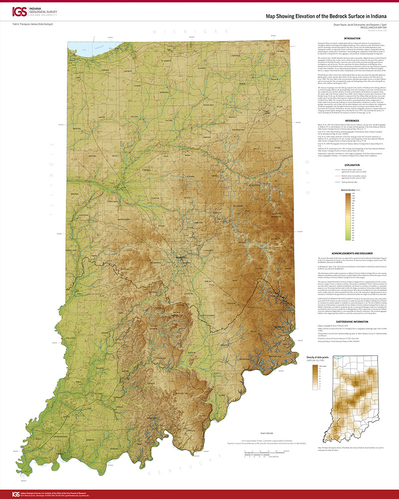
This map shows the elevation of the bedrock surface in the southwestern portion of the Wabash 30 x 60 minute quadrangle at a scale of 1:100,000. The map was created by using computer gridding and contouring software and available bedrock-surface data to model paleovalleys and other bedrock-surface features.
Hasenmueller, W. A., James, C. L. 2004, Map showing elevation of the bedrock surface in southwestern portion of the Wabash 30 x 60 minute quadrangle, Indiana: Indiana Geological Survey Open-File Study 04-09
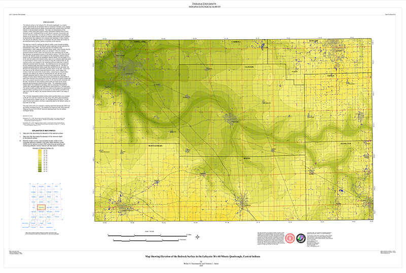
You may also like:


Keywords: bedrock surface, bedrock topography, mathematical geology, surficial geology, unconsolidated deposit
Can't find what you're looking for? Feel free to contact us directly:
Indiana Geological and Water Survey
1001 E. 10th St.
Bloomington, IN 47405
812-855-7636 (phone)
812-855-2862 (fax)
IGWSinfo@indiana.edu
IGS Return Policy
- Original sales receipt required.
- Returns accepted within 30 days of purchase date.
- Refund will be issued by the same method of payment as purchased.
- Products must be returned in the same new condition as purchased.
- Refunds on custom orders and digital products are NOT allowed.
- Customers are responsible for paying shipping costs to return products.
Updated 8/19/2020