

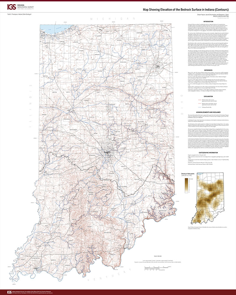
During the Pleistocene Epoch, multiple glacial advances deposited sediment of varying thickness throughout Indiana and reshaped the preglacial landscape. These sediments overlie the bedrock surface and have hydrologic and thermal properties that often contrast with the underlying bedrock units, making this interface an important feature to delineate for well drillers, engineers, and geothermal heat pump designers, among others. Furthermore, understanding the configuration of the bedrock surface is an important starting point for many aggregate, coal, petroleum, and general geologic investigations.
Naylor, S., Schumacher, J., and Sperl, B. J., 2016, Map showing elevation of the bedrock surface in Indiana (contours): Indiana Geological Survey Miscellaneous Map 94B, scale 1:500,000.
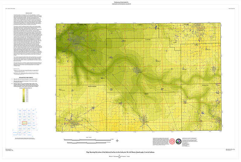
You may also like:
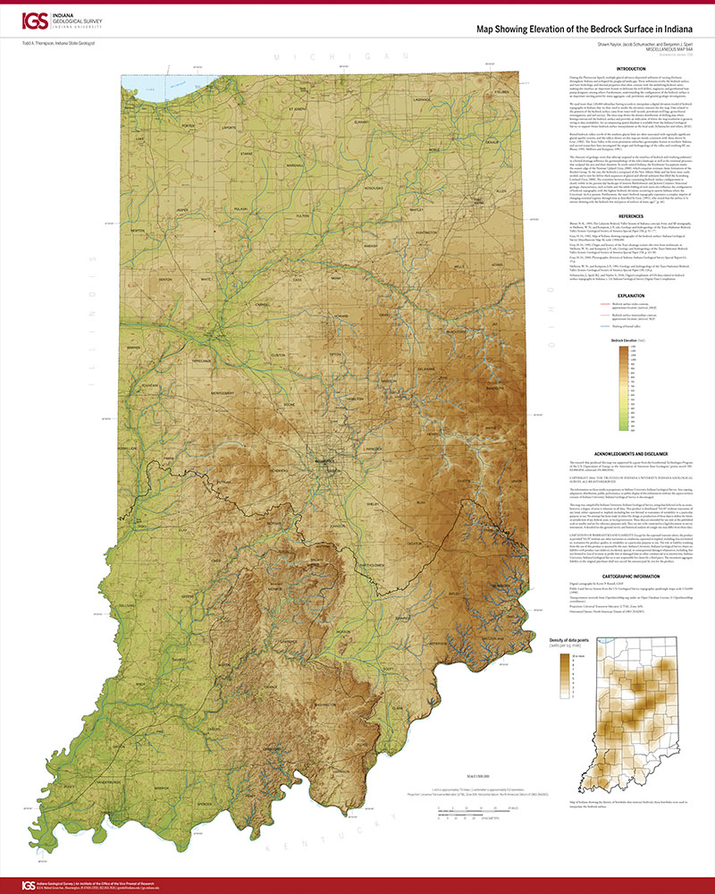


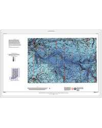

Keywords: bedrock surface, bedrock topography, geothermal, relict landforms, buried valley
Can't find what you're looking for? Feel free to contact us directly:
Indiana Geological and Water Survey
1001 E. 10th St.
Bloomington, IN 47405
812-855-7636 (phone)
812-855-2862 (fax)
IGWSinfo@indiana.edu
IGS Return Policy
- Original sales receipt required.
- Returns accepted within 30 days of purchase date.
- Refund will be issued by the same method of payment as purchased.
- Products must be returned in the same new condition as purchased.
- Refunds on custom orders and digital products are NOT allowed.
- Customers are responsible for paying shipping costs to return products.
Updated 8/19/2020