


| Not available for purchase | |
| Format(s) | Not Available |
|---|---|
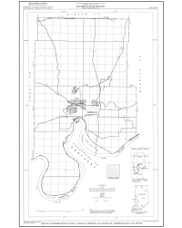
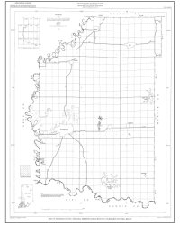
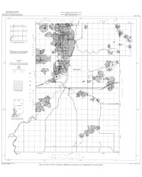
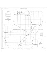
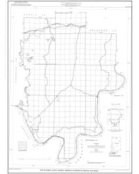
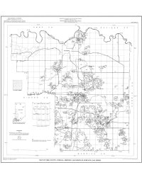
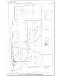
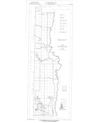
ANNOTATION: OFS 00-11 is a large-format, full color map showing the locations of coal mines that were active in 1999 or 2000. In addition to mine locations, the map also includes a table of actively permitted coal mines and a summary of 1999 coal production statistics. More detailed information related to mines shown on this map is available in Indiana Geological Survey Directory 12, Directory of Coal Mines and Producers in Indiana 1999-2000.
Eaton, N. K. 2000, Map showing locations of coal mines in Indiana 1999-2000: Indiana Geological Survey Open-File Study 00-11
Notes: Publications in the Indiana Geological Survey Open-File series have been inconsistently named using a variety of series titles including "Open-File Report," "Open-File Map," and "Open-File Study." Prior to 1994, a publication in this series was generally referred to as an "Open-File Report" (but not always). To help reduce confusion created by these inconsistencies, the IGS now refers to every publication in the Open-File series as an "Open-File Study." To be entirely correct in writing a bibliographic reference for a publication, one should use the series name and number that appears on the publication itself.
Dimensions: 20" x 36."
You may also like:


Keywords: wall map, map, coal, energy resources, mine
This item is no longer available. Please contact the Indiana Geological and Water Survey Publication Sales Office for more information. Many IGWS publications are available through local libraries.
Publication Sales Office
Indiana Geological Survey
1001 E. 10th St.
Bloomington, IN 47405
(812) 855-7636 office phone
(812) 855-2862 office fax
IGSINFO@indiana.edu