Mission

The mission of the Center for Geospatial Data Analysis is to provide scientifically based decision-support systems to a wide variety of technical and nontechnical users, to promote the environmentally sound use of land, water, and mineral resources.
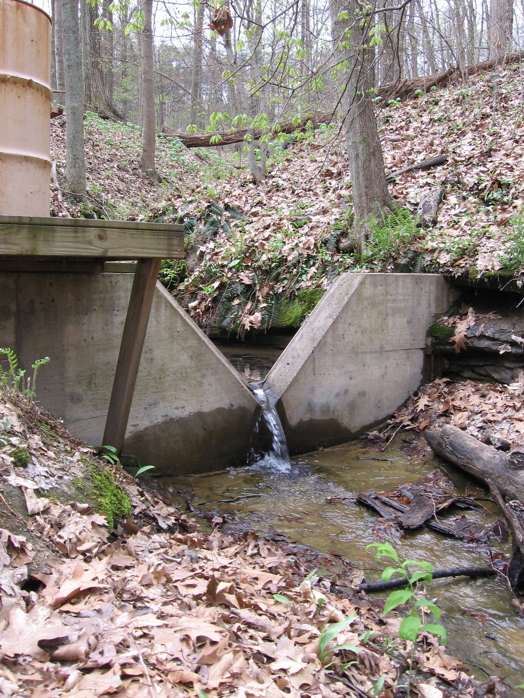
This mission is accomplished by employing state-of-the-art technology in geographic information systems (GIS), statistical and numerical analysis, and field instrumentation to develop and (or) apply: GIS database applications to resource evaluation and environmental issues; statistical and numerical modeling, particularly pertaining to issues of ground- and surface-water hydrology; real-time monitoring of hydrological conditions; and non-traditional training via internships and apprenticeships.
History

The Center for Geospatial Data Analysis (CGDA) has conducted research on the Indiana University campus since 1998 when researchers from the Indiana Geological Survey and Indiana University Department of Geological Sciences combined their expertise and innovation to solve problems collaboratively. The original team addressed issues primarily related to hydrology, the environment, and energy resources and played a pioneering role in applying geographic information systems (GIS) to solve complex problems having an inherent spatial component.
Although GIS applications are much more common today, the CGDA continues to be a leader in geospatial analysis and developing decision-support tools for Indiana and beyond. The group now includes researchers from the Indiana Geological and Water Survey, the Indiana University Department of Earth and Atmospheric Sciences, and the Indiana University Department of Geography, and mentors interns from a wide variety of departments on campus.


