

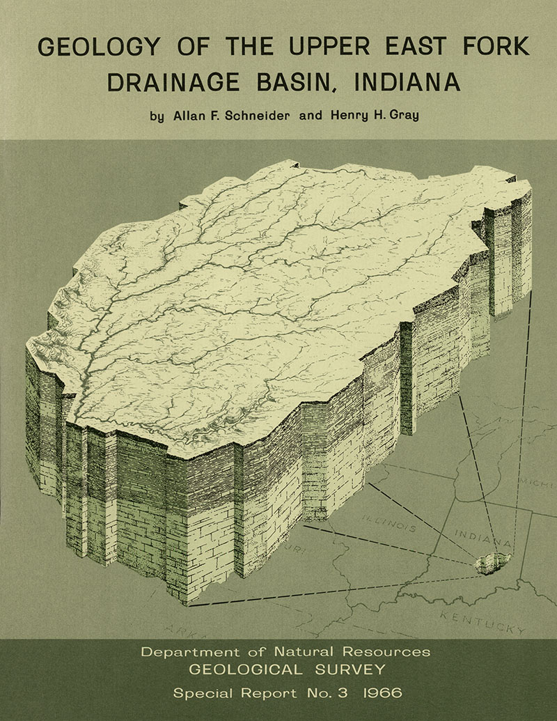
Basic geologic information is essential to planning flood-control measures in the Upper East Fork Drainage Basin, an area of about 2,300 square miles in east-central Indiana. Principal streams of the basin include the Driftwood, Big Blue, Little Blue, and Flatrock Rivers; Sugar, Clifty, and Sand Creeks; and the upper part of the East Fork of White River, from Columbus downstream to the south line of Bartholomew County. Shelbyville is nearly centrally located within the basin. The present drainage system of the Upper East Fork basin is dominated by a pattern of southwestward-flowing streams. Many of these streams follow inherited valleys that were used by glacial meltwaters during the Wisconsin Age of the Pleistocene Epoch. Preglacial streams, however, flowed in a more westerly direction, generally following the regional slope of the bedrock surface. Although the dip of the bedrock formations is somewhat steeper than the slope of the bedrock surface, the close correspondence in direction between the two clearly indicates that the regional slope is structurally controlled…
Schneider, A. F., and Gray, H. H., 1966, Geology of the upper East Fork drainage basin, Indiana: Indiana Geological Survey Special Report 03, 55 p., 12 figs. doi: 10.5967/44eg-9v82
You may also like:
Keywords: glacial fluvial, geology, drainage
Can't find what you're looking for? Feel free to contact us directly:
Indiana Geological and Water Survey
1001 E. 10th St.
Bloomington, IN 47405
812-855-7636 (phone)
812-855-2862 (fax)
IGWSinfo@indiana.edu
IGS Return Policy
- Original sales receipt required.
- Returns accepted within 30 days of purchase date.
- Refund will be issued by the same method of payment as purchased.
- Products must be returned in the same new condition as purchased.
- Refunds on custom orders and digital products are NOT allowed.
- Customers are responsible for paying shipping costs to return products.
Updated 8/19/2020