

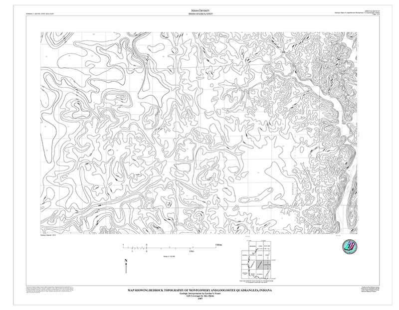
Fraser, G. S., Furer, L. C., Harper, D. , Kvale, E. 1997, Systems mapping of the bedrock and nonlithified materials for the Montgomery and Loogootee quadrangles, Daviess County, Indiana: Indiana Geological Survey Open-File Study 97-07, 4 pl.
Notes: Publications in the Indiana Geological Survey Open-File series have been inconsistently named using a variety of series titles including "Open-File Report," "Open-File Map," and "Open-File Study." Prior to 1994, a publication in this series was generally referred to as an "Open-File Report" (but not always). To help reduce confusion created by these inconsistencies, the IGS now refers to every publication in the Open-File series as an "Open-File Study." To be entirely correct in writing a bibliographic reference for a publication, one should use the series name and number that appears on the publication itself.
You may also like:
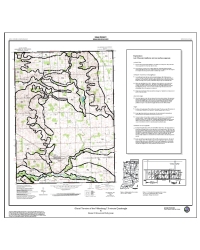
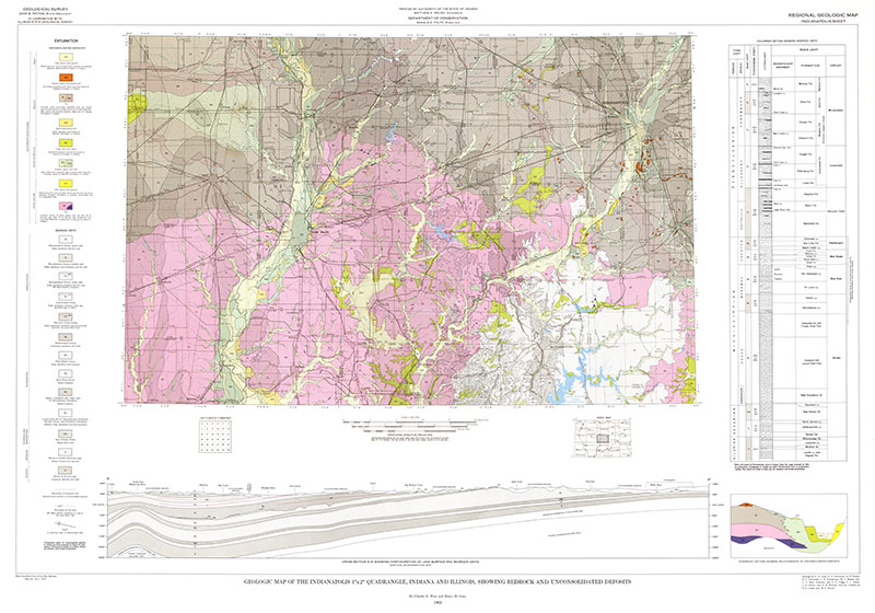


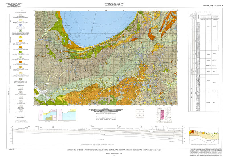
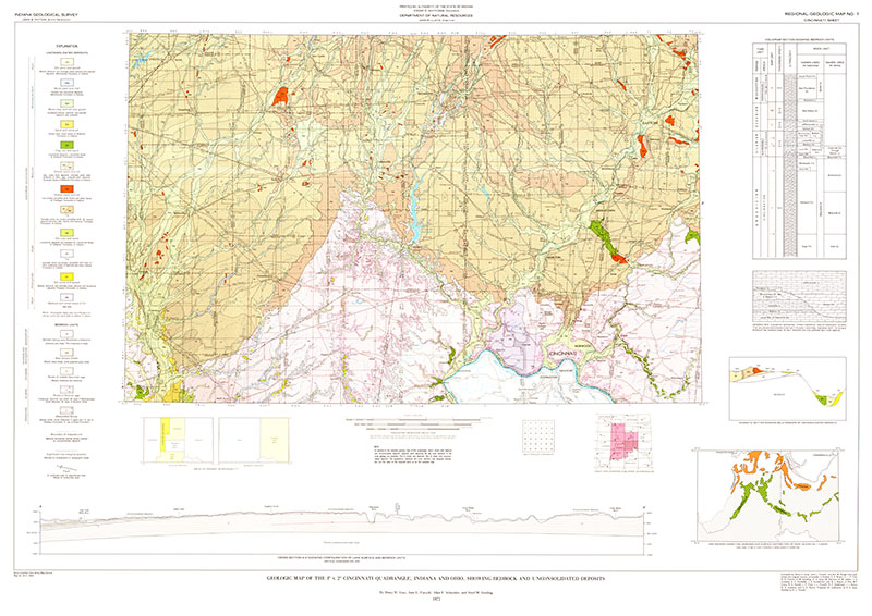
Keywords: statemap, geologic map, terrain, glacial, bedrock, unconsolidated
Can't find what you're looking for? Feel free to contact us directly:
Indiana Geological and Water Survey
1001 E. 10th St.
Bloomington, IN 47405
812-855-7636 (phone)
812-855-2862 (fax)
IGWSinfo@indiana.edu
IGS Return Policy
- Original sales receipt required.
- Returns accepted within 30 days of purchase date.
- Refund will be issued by the same method of payment as purchased.
- Products must be returned in the same new condition as purchased.
- Refunds on custom orders and digital products are NOT allowed.
- Customers are responsible for paying shipping costs to return products.
Updated 8/19/2020