

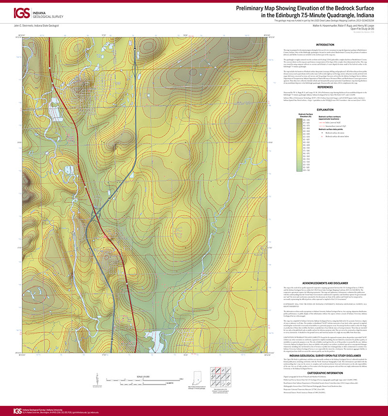
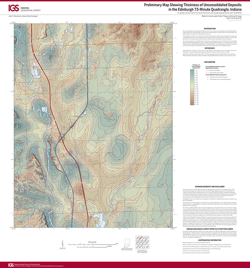
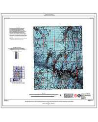
This map was prepared to document progress during the first year of a two-year project to map the Quaternary geology in Bartholomew County, Indiana. Most of the Edinburgh quadrangle is located in north-central Bartholomew County, but portions of southern Johnson and Shelby Counties are included in the northern part of the map area.
Hasenmueller, W. A., Rupp, R. F., and Loope, H. M., 2014, Preliminary map showing elevation of the bedrock surface in the Edinburgh 7.5-minute quadrangle, Indiana: Indiana Geological Survey Open-File Study 14-06, scale 1:24,000.
You may also like:


Keywords: bedrock surface, geologic map
Can't find what you're looking for? Feel free to contact us directly:
Indiana Geological and Water Survey
1001 E. 10th St.
Bloomington, IN 47405
812-855-7636 (phone)
812-855-2862 (fax)
IGWSinfo@indiana.edu
IGS Return Policy
- Original sales receipt required.
- Returns accepted within 30 days of purchase date.
- Refund will be issued by the same method of payment as purchased.
- Products must be returned in the same new condition as purchased.
- Refunds on custom orders and digital products are NOT allowed.
- Customers are responsible for paying shipping costs to return products.
Updated 8/19/2020