

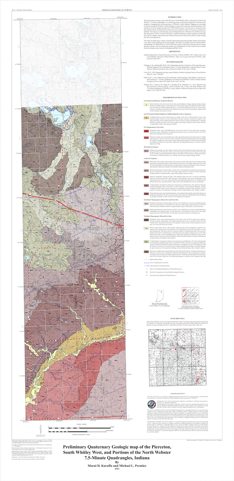
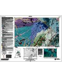
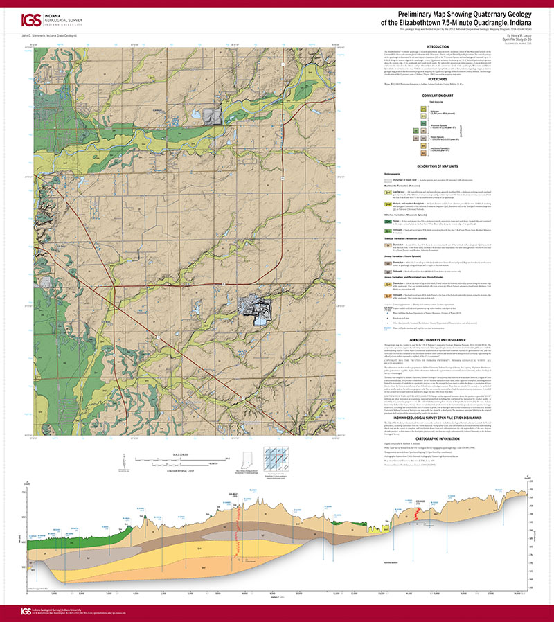
This preliminary geologic map is an interim geologic map product prepared to document the progress of mapping the surficial geology of Whitley County, Indiana. Mapping was extended westward outside the Whitley County boundary to aid in unit correlation and interpretation. The shaded area will be mapped as part of 2013 STATEMAP project. The map area is contained within the region formerly occupied by the Huron-Erie Lobe and Erie Lobe ice streams in northeastern Indiana. The map area is underlain by unconsolidated deposits of Pleistocene and Holocene age that range from 150 ft to at least 300 ft thick. Landforms and near-surface sequences in the map area record complex interactions and relations between the Huron-Erie and Erie Lobes during late Wisconsin glaciation.
Karaffa, M. , Prentice, M. L. 2013, Preliminary Quaternary geologic map of the Pierceton, South Whitley West, and portions of the North Webster 7.5-minute quadrangles, Indiana: Indiana Geological Survey Open-File Study 13-04
Notes: Size: 46 x 42 inches
You may also like:
Keywords: geologic map, Quaternary, glacial geology, Wisconsin glaciation, glacial sequences, glacial deposits
Can't find what you're looking for? Feel free to contact us directly:
Indiana Geological and Water Survey
1001 E. 10th St.
Bloomington, IN 47405
812-855-7636 (phone)
812-855-2862 (fax)
IGWSinfo@indiana.edu
IGS Return Policy
- Original sales receipt required.
- Returns accepted within 30 days of purchase date.
- Refund will be issued by the same method of payment as purchased.
- Products must be returned in the same new condition as purchased.
- Refunds on custom orders and digital products are NOT allowed.
- Customers are responsible for paying shipping costs to return products.
Updated 8/19/2020