
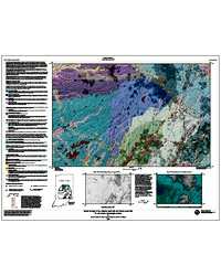
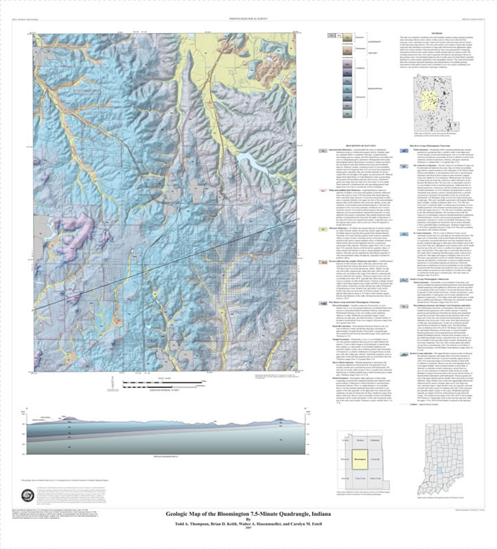
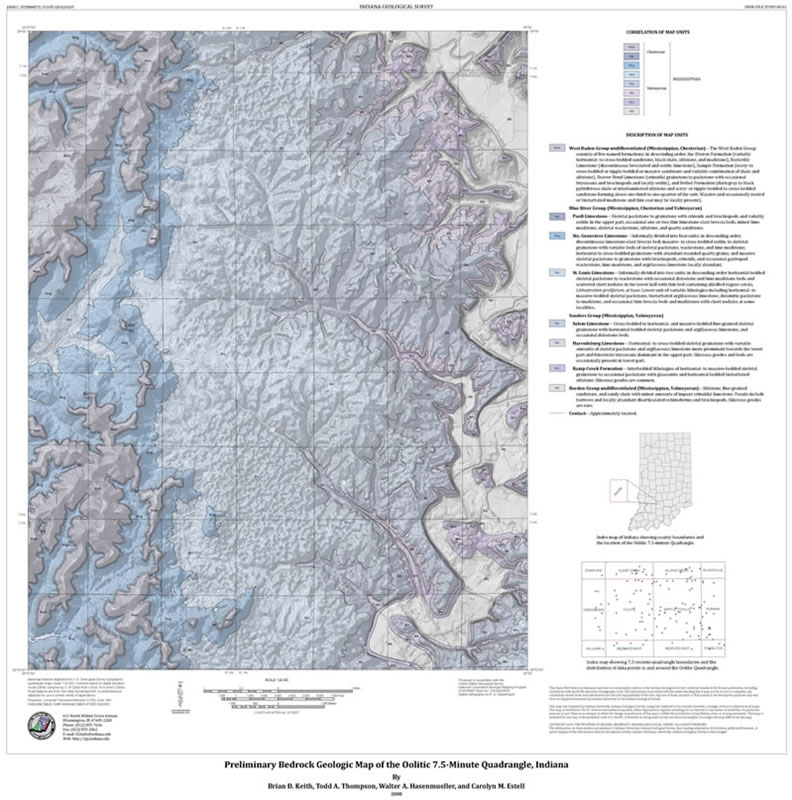
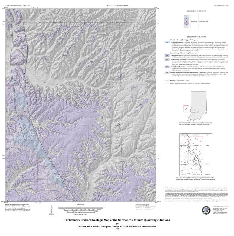
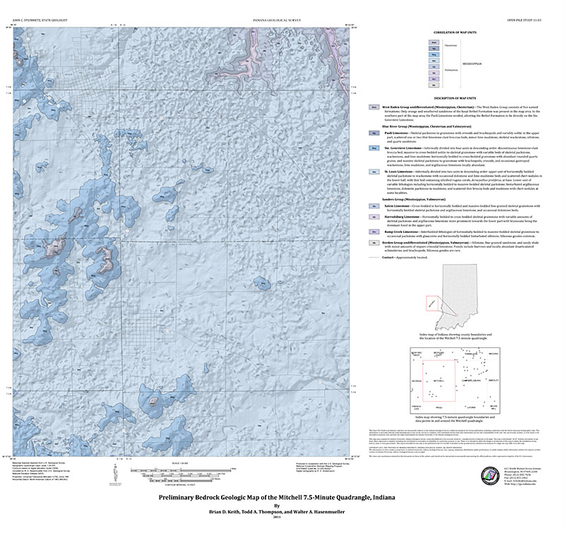
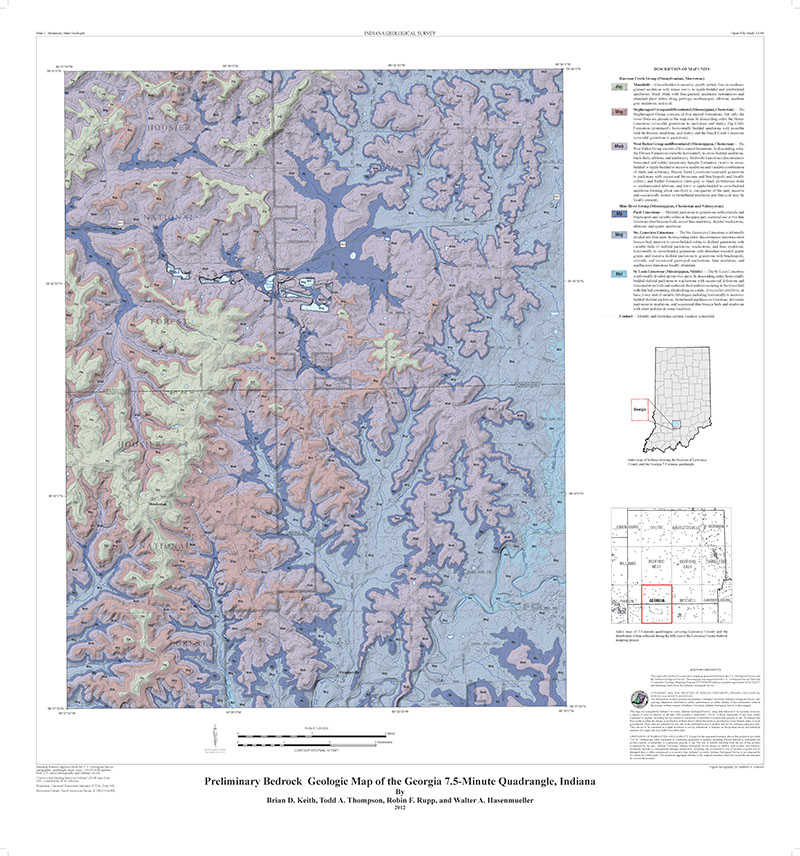
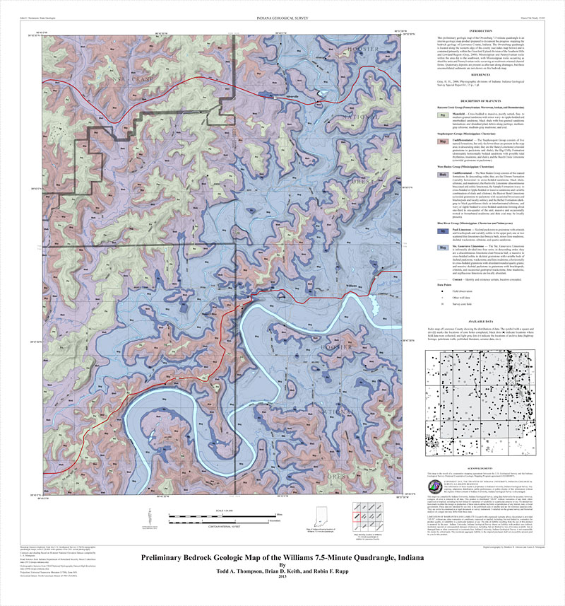
The Glacial Geology of the Lafayette (east half) and Muncie (west half) 30 x 60 minute Quadrangles, Indiana is a 1:100,000-scale map that includes the communities of Burlington, Lebanon, Pendleton, Gas City, Kokomo, and Noblesville. Produced by IGS glacial geologists Steven E. Brown, Marni Lynne Dickson, and N. K. Bleuer, the 36 x 48 inch map focuses on subtle differences of the glacial landscape.
Brown, S. E., Dickson, M. L., Bleuer, N. K. 2003, Glacial geology of the Lafayette (east half) and Muncie (west half) 30 X 60 minute quadrangles, Indiana: Indiana Geological Survey Open-File Study 03-16
Notes:
This 1:100,000-scale map includes the communities of Burlington, Lebanon, Pendleton, Gas City, Kokomo, and Noblesville. Produced by IGS glacial geologists Steven E. Brown, Marni Lynne Dickson, and N.K. Bleuer, the 36 x 48 inch map focuses on subtle differences of the glacial landscape.

You may also like:

Keywords: geologic map, statemap, glacial geology
Can't find what you're looking for? Feel free to contact us directly:
Indiana Geological and Water Survey
1001 E. 10th St.
Bloomington, IN 47405
812-855-7636 (phone)
812-855-2862 (fax)
IGWSinfo@indiana.edu
IGS Return Policy
- Original sales receipt required.
- Returns accepted within 30 days of purchase date.
- Refund will be issued by the same method of payment as purchased.
- Products must be returned in the same new condition as purchased.
- Refunds on custom orders and digital products are NOT allowed.
- Customers are responsible for paying shipping costs to return products.
Updated 8/19/2020
Indiana Geological and Water Survey Home Page
