

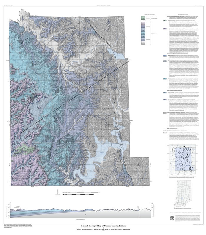
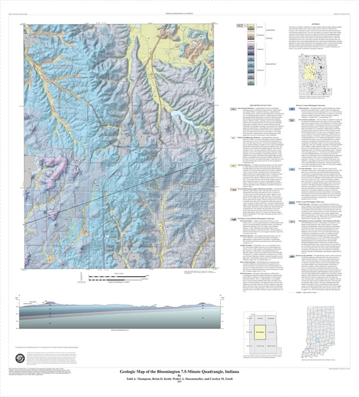
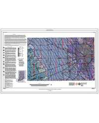
This color map shows the distribution of the bedrock units immediately below the soil and unconsolidated material in Monroe County at a scale of 1:48,000. Also shown on the map is the surface topography in shaded relief, the location of stone quarries, and the main roads and highways in the county. The map provides detailed geologic information that can be used as guide for infrastructure development, resource use such as the economically important Salem Limestone, and delineation of areas of karst features for environmental planning. A more detailed map (scale 1:24,000) of just the Bloomington area (Miscellaneous Map 75) is also available.
Hasenmueller, W. A., Estell, C. M., Keith, B., and Thompson, T. A., 2009, Bedrock geologic map of Monroe County, Indiana: Indiana Geological Survey Miscellaneous Map 73, scale 1:48,000.
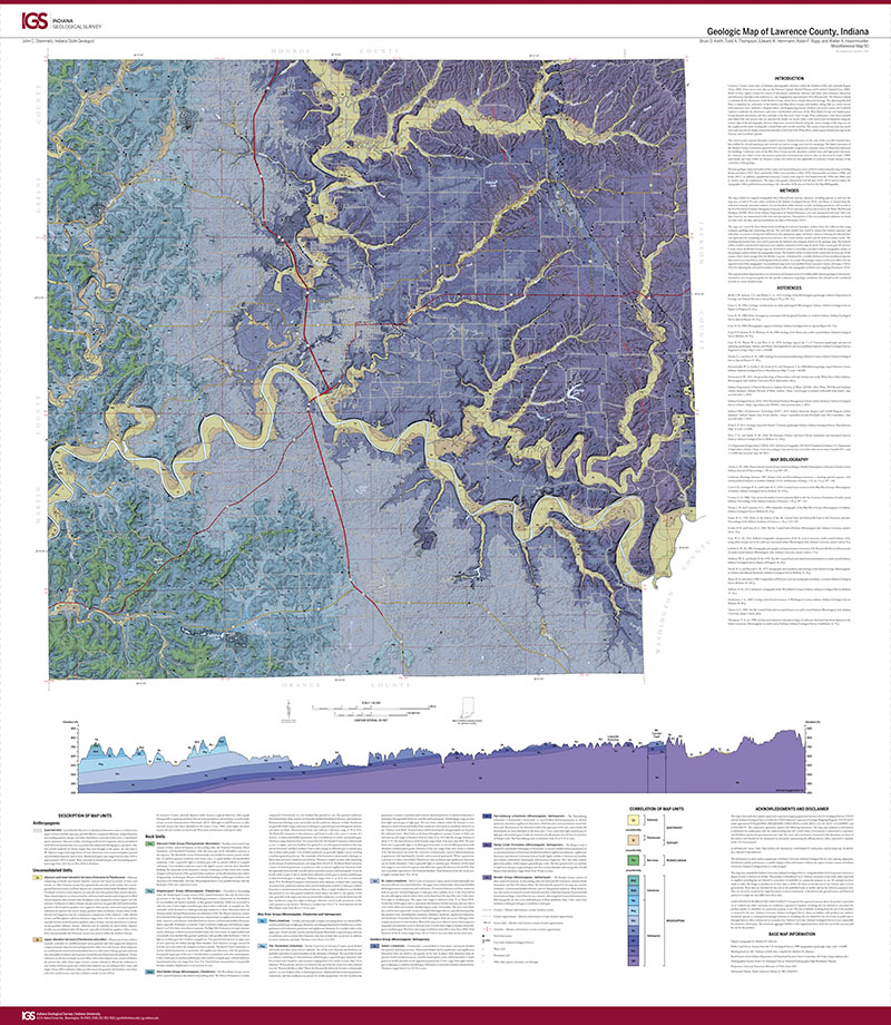
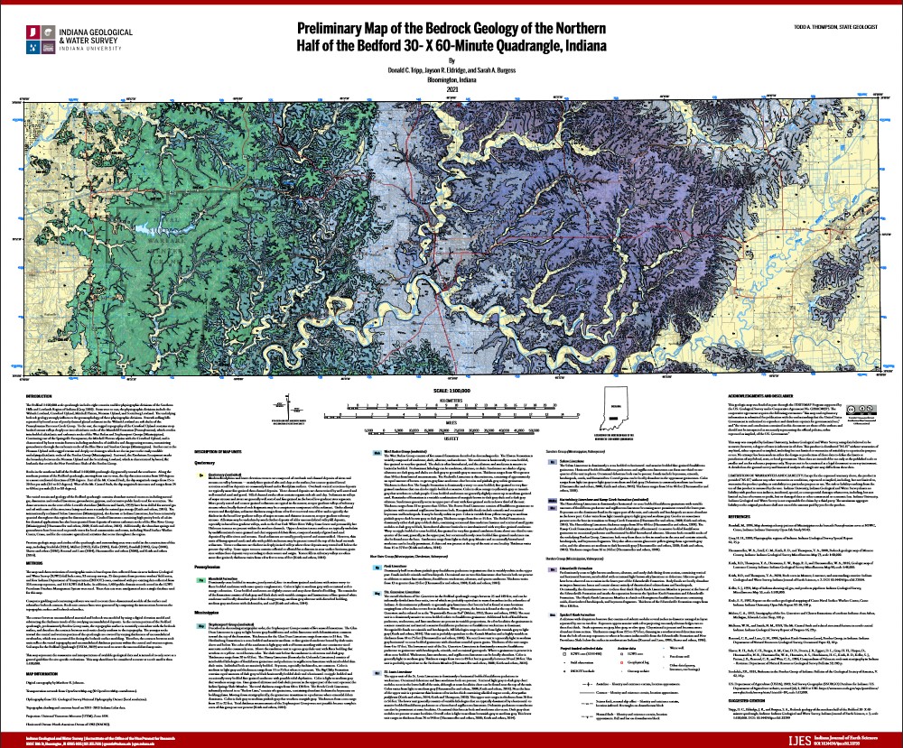
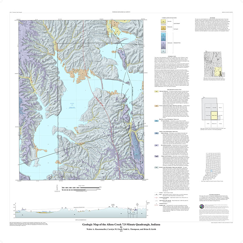
You may also like:


Keywords: STATEMAP, fault, geolgic map, wall map, teachers, quarried land, Borden Group, Harrodsburg Formation, Salem Limestone, Sanders Group, St. Louis Limestone, Ste. Genevieve Limestone, Paoli Limestone, Blue River Group, West Baden Group, Mansfield Formation, Raccoon Creek Group
Can't find what you're looking for? Feel free to contact us directly:
Indiana Geological and Water Survey
1001 E. 10th St.
Bloomington, IN 47405
812-855-7636 (phone)
812-855-2862 (fax)
IGWSinfo@indiana.edu
IGS Return Policy
- Original sales receipt required.
- Returns accepted within 30 days of purchase date.
- Refund will be issued by the same method of payment as purchased.
- Products must be returned in the same new condition as purchased.
- Refunds on custom orders and digital products are NOT allowed.
- Customers are responsible for paying shipping costs to return products.
Updated 8/19/2020