

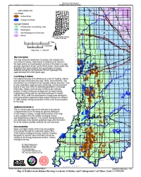
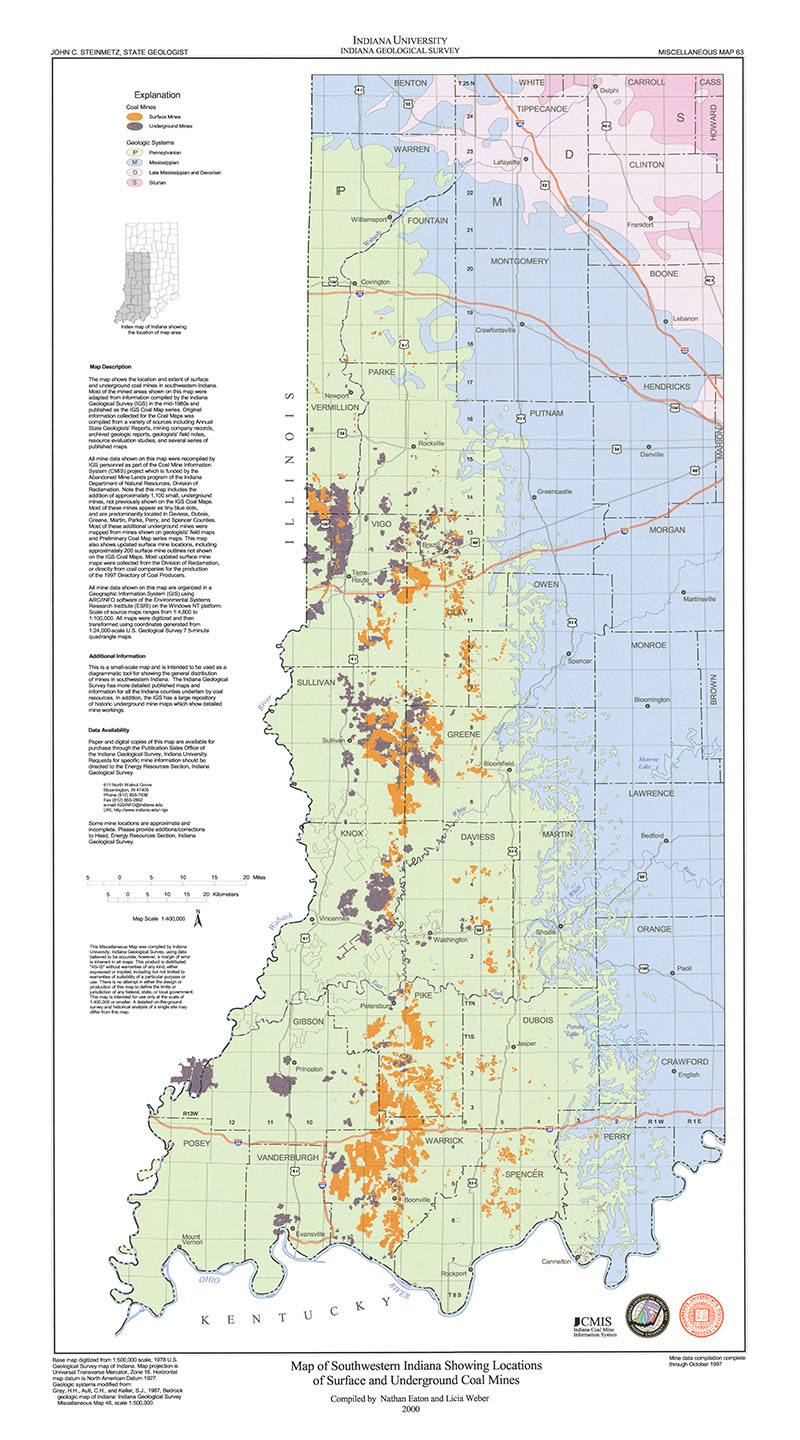
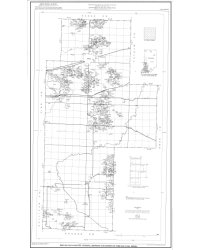
ANNOTATION: The map shows the distribution of surface and underground coal mines in Indiana. Note that all of Indiana's coal occurs in the west-central and southwestern portions of the state in a large geologic depression known as the Illinois Basin. Illinois Basin coal originated from plant material that accumulated in tropical wetlands during the Pennsylvanian Period of geologic time (approximately 300 million years ago). This is a small-scale map and is intended to be used as a diagrammatic tool for showing the general distribution of coal mines in Indiana. A large-format version of this map is also available from the Indiana Geological Survey (see Miscellaneous Map 63). The Indiana Geological Survey also distributes more detailed published maps and information for all the Indiana counties underlain by coal resources.
Eaton, N. K., 2000, Map of southwestern Indiana showing locations of surface and underground coal mines: Indiana Geological Survey Miscellaneous Map 67, scale 1:300,000.
You may also like:


Keywords: page-size map, coal, mine, surface, underground, map
Can't find what you're looking for? Feel free to contact us directly:
Indiana Geological and Water Survey
1001 E. 10th St.
Bloomington, IN 47405
812-855-7636 (phone)
812-855-2862 (fax)
IGWSinfo@indiana.edu
IGS Return Policy
- Original sales receipt required.
- Returns accepted within 30 days of purchase date.
- Refund will be issued by the same method of payment as purchased.
- Products must be returned in the same new condition as purchased.
- Refunds on custom orders and digital products are NOT allowed.
- Customers are responsible for paying shipping costs to return products.
Updated 8/19/2020